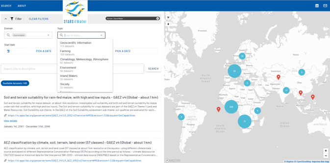
A public catalogue for discovering existing (external) and STARS4Water-generated and collected water datasets, supported by open standards, metadata, links to repositories and data-service documentation.
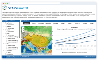
Generic Dashboard
A generic STARS4Water dashboard presenting climate, water resources, socio-economic and risk-related indicators on a common basis across the project River Basin Hubs
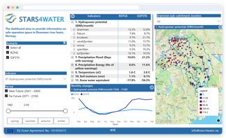
Drammen river basin Dashboard
A tailor-made Dashboard for the Drammen river basin integrating locally relevant indicators, datasets and modelling outputs to support basin level water management dialogue and decision-making
Story Maps of the 7 River Basin Hubs
Web-based narratives at river basin level that communicate assessments of future water-resource availability, hydrological extremes, water use, priority risks and potential management responses. The Story Maps combine scientific results, maps and visualisations with accessible narrative explanations and are tailored to the management context of the individual basins.
Click on each river basin on the Map to access its StoryMap
Danube – Drought water conditions under climate change
Drammen – Balancing future water, energy and ecosystems
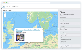
An open-access online application for documenting, analysing and sharing experienced impacts of floods, droughts, storms and heatwaves, including biophysical, social and cultural, economic and health-related impacts and the mitigation and adaptation measures implemented in response. The platform provides a structured knowledge base for learning from past events and adaptation experience.